
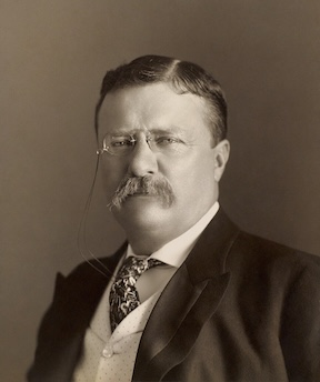
President Theodore Roosevelt did not come up with the Roosevelt Highway plan, which was launched two years after his death in 1921. The ambitious undertaking was named in honor of the charismatic late president after the fact.
The Roosevelt Highway master plan envisioned the building of an intercontinental roadway that would stretch along the western coast of the Americas. It would run from Seward, Alaska on the north, down the western Canada coast through Vancouver, then down through Washington, Oregon and California to the Mexican border.
It would then cut inland upon reaching Tijuana, Mexico, traverse Latin America, and end up in Buenos Aires, Argentina, covering more than 13,000 miles.
Construction on the superhighway began with considerable ballyhoo in 1921 in the Santa Monica-Malibu area. No single road then existed that connected that area with Ventura and points further north.
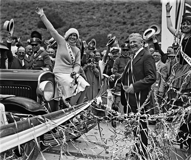
Building this winding two-lane shoreline roadway took nearly a decade. On June 26, 1929, this first segment of Roosevelt Highway officially opened. It ran from north of the Santa Monica Pier and extended through Malibu to Sycamore Canyon on the Ventura side of the county line.
The highway’s number wasn’t identified as Highway 1 from the start, but went by three different numbers. Originally, it was Route 60, then Route 3, then Route 101 Alternate, before receiving the Highway 1 label in the 1960s.
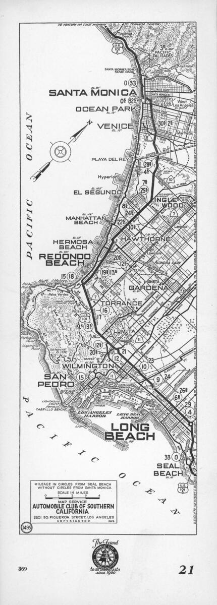
Despite all the celebrating over the completion of the Santa Monica section, there was much more to be done. At that time, the Roosevelt Highway was unfinished between Santa Monica on the north, and Long Beach on the south.
In 1931, work began on connecting the segments of the highway running southward through the South Bay to Long Beach, and from there, through coastal Orange County to Dana Point. While it didn’t garner as much publicity as the Santa Monica-Malibu portion, this route through a variety of jurisdictions had its fair share of complications.
After leaving Santa Monica, the road followed Sepulveda Blvd. south through Westchester. It had to be threaded around (and later under) Los Angeles Municipal Airport (now LAX) and then through El Segundo and the beach cities.
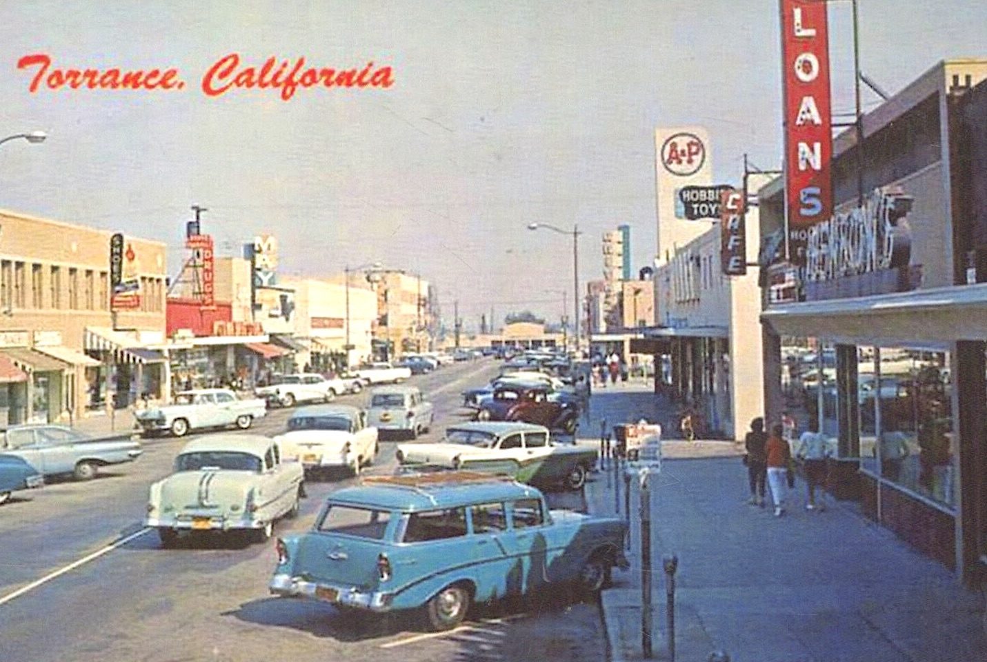
In South Redondo, the Roosevelt Highway veered inland, following the path of Redondo-Wilmington Blvd. through the then sparsely developed southern Torrance border.
By October 1934, work on the Torrance segment of the road was ten percent complete. A tricky section along South Elena St. in Redondo Beach had been finished in June 1933, and the public works money was continuing to flow.
In 1935, the state department of public works estimated that the international roadway would be completed in six years. That June, the stretch of new roadway following the route of the former Redondo-Wilmington Blvd. from Redondo Beach through Torrance to Lomita was opened to traffic.
Judging by newspaper accounts, the construction through Lomita and Wilmington seemed especially fraught with delays and red tape. After traversing Wilmington, the roadway would connect with State St. in Long Beach and then continue into Orange County.
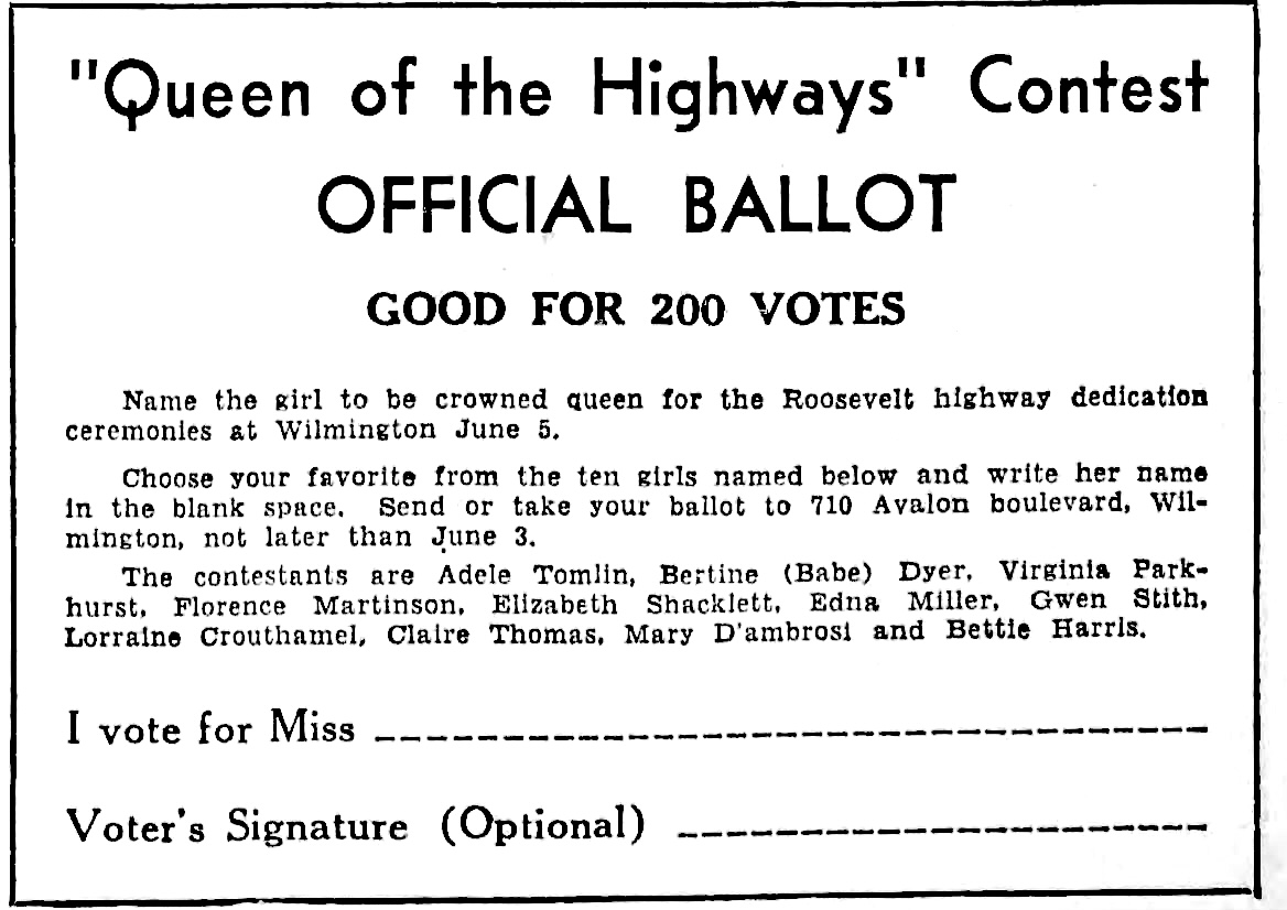
After some bureaucratic and weather delays, the Wilmington section following avenues N and O through to State St. was completed. Dedication for the new roadway was held on June 5, 1937.
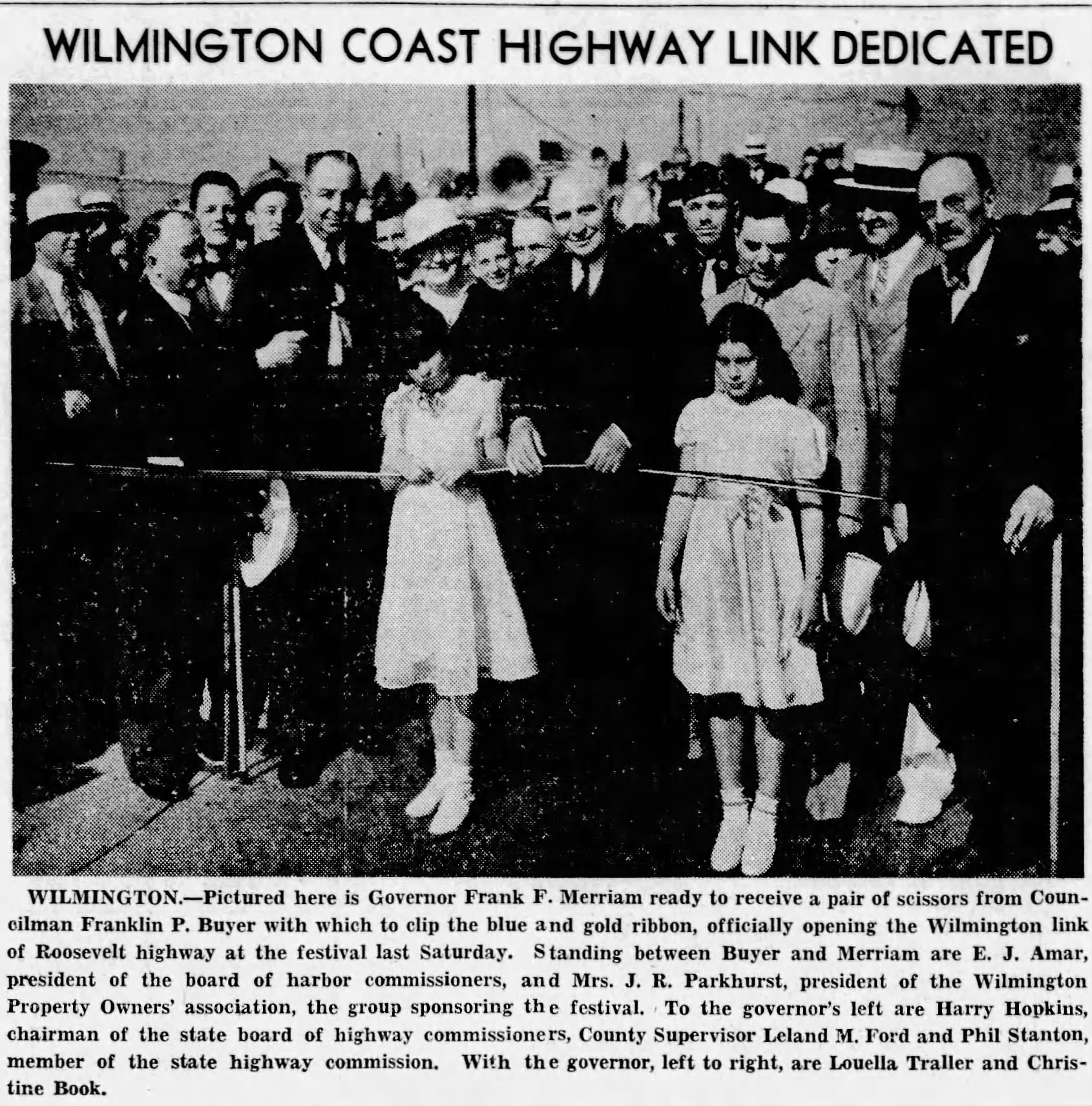
Along the once-empty east-west roadway through the South Bay, businesses began to spring up as highway traffic increased. These included a Safeway grocery store that opened in Lomita in 1937, which was followed by new cafes, service stations and other small stores.
Ironically, as the new roadway neared completion, the ardor for the Roosevelt Highway scheme seemed to be subsiding. As early as 1936, chambers of commerce for cities along the route were asking for a name change for the new road.
Lomita asked for the change in 1939, and Torrance officially adopted the new name in April 1941. A month later, Los Angeles County officials agreed on the use of the name “Pacific Coast Highway” throughout the whole route.
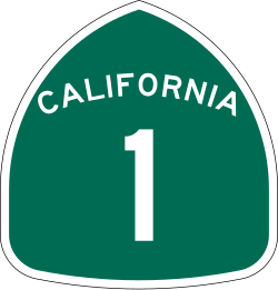
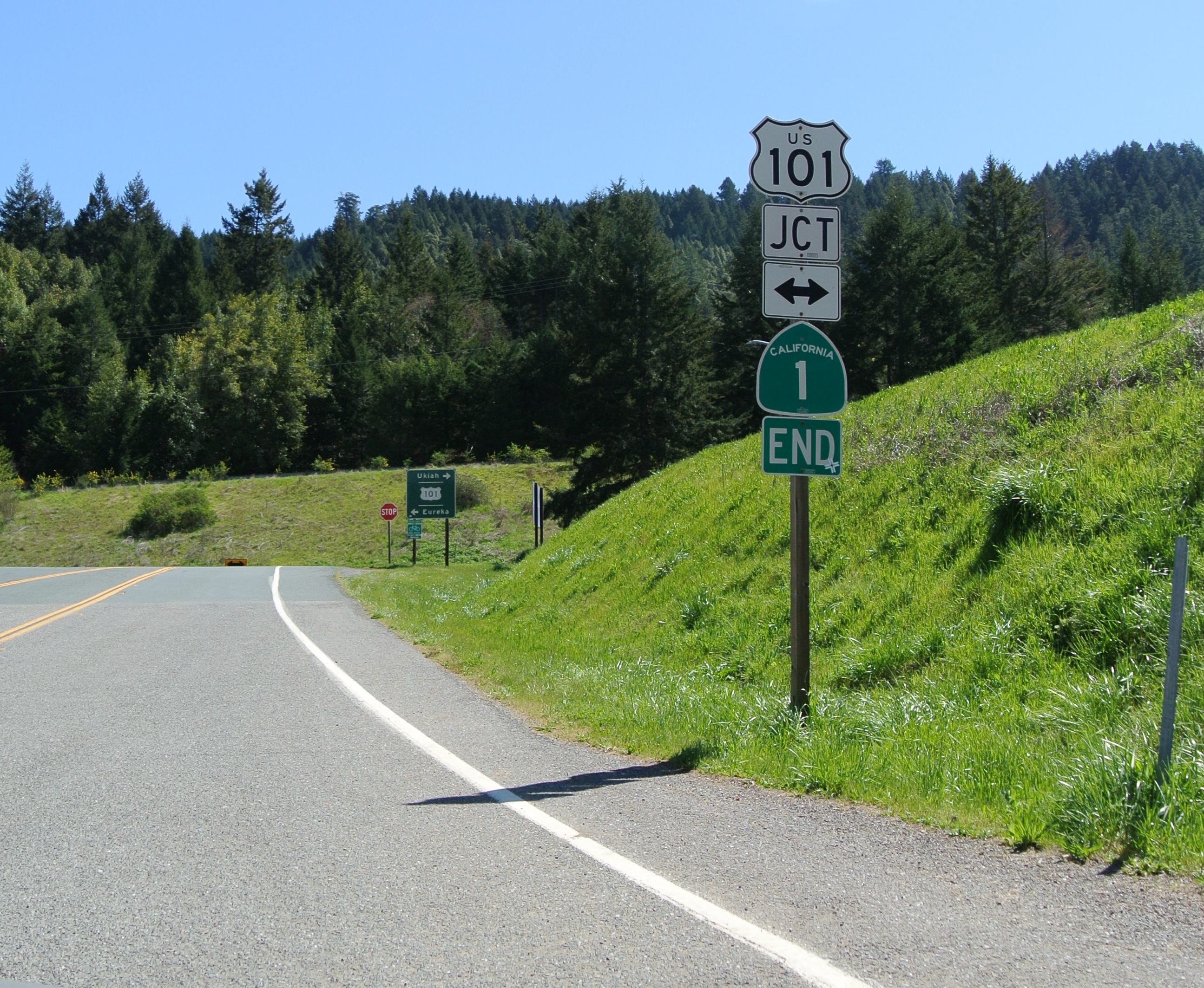
The quixotic idea of a contiguous intercontinental Roosevelt Highway never came to pass. In 1964, the state of California designated the roadway as State Route 1. It stretches from Dana Point in Orange County northward to the town of Leggett north of Fort Bragg, where it joins Highway 101.
At 656 miles in length, Highway 1 is the longest state highway in California and the second longest state highway in the U.S. behind State Highway 200 in Montana’s 706-mile stretch.
Three roadways do currently connect Canada and Mexico, a feat to which the Roosevelt Highway once aspired. The Interstate 5 Freeway runs from Tijuana, Mexico to Vancouver, Canada, passing through California, Oregon and Washington on the way. It was completed in 1979.
U.S. Highway 62 winds its way from the Mexico border at El Paso, Texas eastward, ending at Niagara Falls in New York/Canada. The Can-Am Highway is actually a series of connected roadways running from El Paso to the Canadian border at Fortuna, North Dakota.
Sources:
Daily Breeze archives.
“From Roosevelt Highway to the 1: A brief history of Pacific Coast Highway,” by Nathan Masters, PBS SoCal website, May 2, 2012.
Los Angeles Times archives.
San Pedro News Pilot archives.
“State Route 1,” California Highways website.
Wikipedia.