Enthusiasm was running high at the formation of the Redondo Beach Good Roads Association on Feb. 5, 1913, according to an account in the Redondo Reflex.
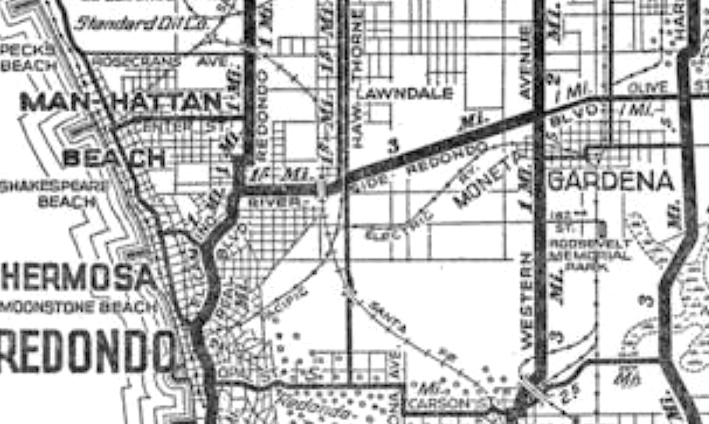
The group of civic boosters were particularly excited about the plan to build a new highway, Redondo-Riverside Blvd., from Redondo Beach to the Riverside county line, some 50 miles away. Petitions had been circulated, towns along the route had been contacted, and optimism was boundless.
Redondo Beach had become a prototypical beach resort mecca with the massive seaside Hotel Redondo, as well as the Pavilion, saltwater plunge and other attractions in the El Paseo district. Boosters felt that enticing more visitors to visit by auto from warmer inland climes, such as Riverside, would have been a boon.
Much work would be done on the roadway over the next few years on the Redondo Beach end, including unsnarling bureaucratic tangles in addition to physical roadwork.
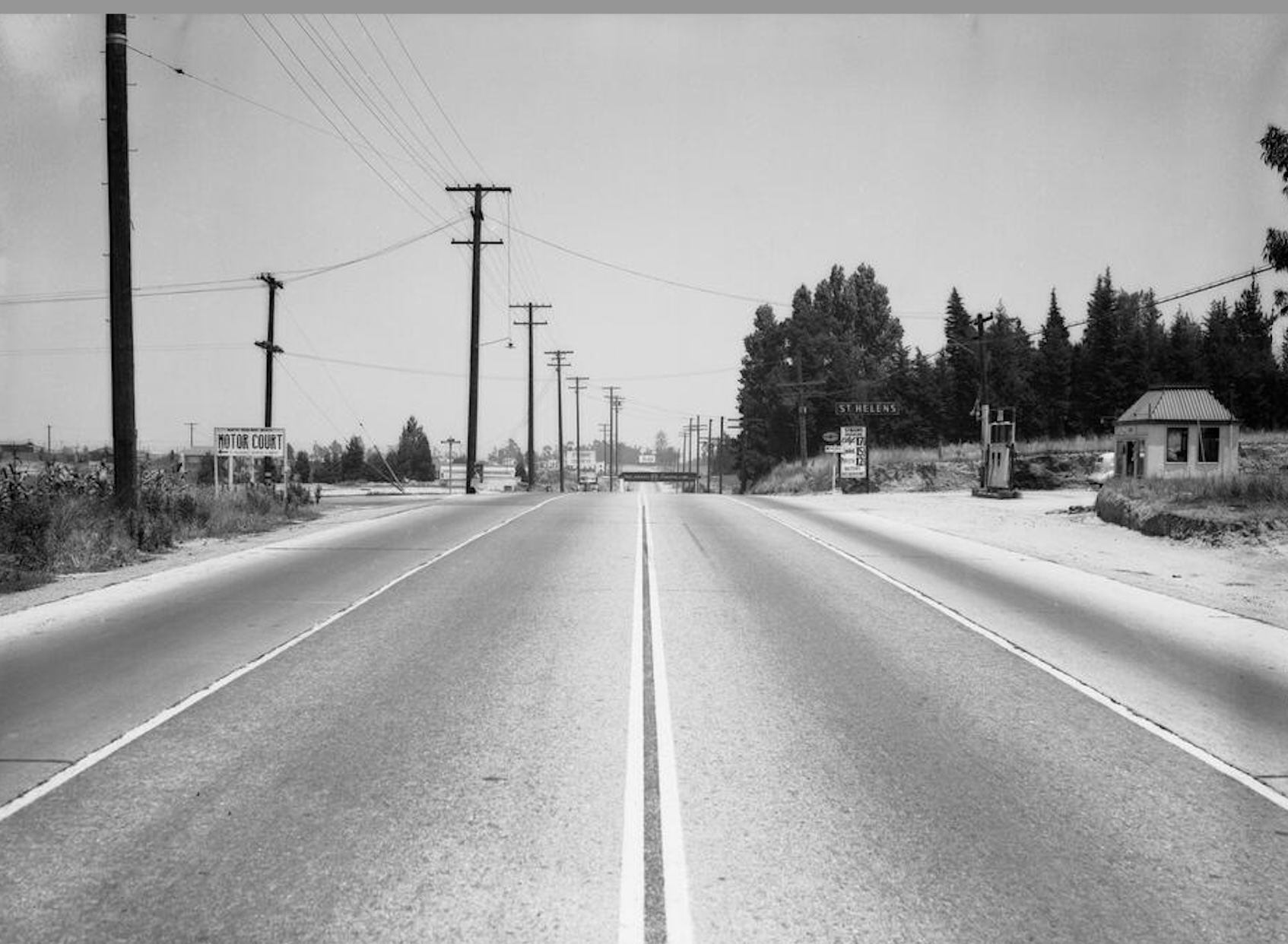
Redondo Beach had control of naming its streets within its own city limits, but much of the area to be traversed by the proposed road lie in county territory. This necessitated gaining the approval of the Los Angeles County Street Naming Committee, an agency which still rules on such matters today.
Over the years, less progress on the project was made east of the city limits, where the road eventually reached only as far as Compton Blvd. on the west edge of Compton.
Enthusiasm had begun to flag. The writing was on the wall in 1932, when the Redondo City Council notified the county street naming agency that it had changed the name of the road to Redondo Beach Blvd., which remains its name today.
In August 1938, the County Board of Supervisors effectively shelved the further extension of the project by abandoning any further surveying of the route. That was that, even if some continued to use the old name for the next few years.
In 1916, a less ambitious and more practical roadway was planned by the cities of Redondo Beach and Torrance. This three mile stretch would connect the two cities and be known as Torrance-Redondo Blvd.
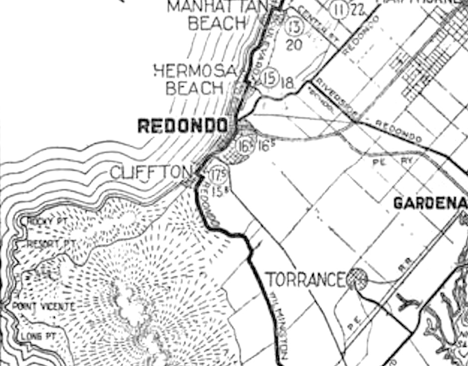
The road was completed in August 1918, and operated as Torrance-Redondo Blvd. until Dec. 1931. That’s when the county street naming committee, after months of study, had decided the entire length of the roadway would henceforth be known as just plain “Torrance Blvd.,” even the portions in Redondo’s city limits.
Present-day Torrance Blvd. now stretches from the Redondo Beach pier on the west to its eastern terminus a few blocks east of Main St. in Carson.
A few years ago, I wrote about another fanciful plan proposed in the 1920s that never came to pass. Landscape architect Frederick Law Olmstead Jr. wrote a treatise in 1924, A Major Street Traffic Plan for Los Angeles in which he proposed an ambitious new roadway.
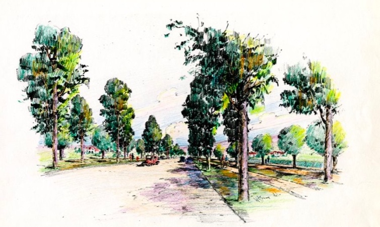
Olmstead named it the Hollywood-Palos Verdes Parkway. He envisioned a 225-foot-wide, roughly 15-mile-long lushly landscaped roadway that would stretch from 79th Street near Angeles Mesa Drive (now known as Crenshaw Blvd.) in Inglewood south to Palos Verdes Drive North at the gateway to Palos Verdes Estates.
During years of back-and-forth dickering, mostly over the high cost of Olmstead’s elaborate plan, it was scaled back again and again. It still became a hard sell, though, especially during the Depression years.
Eventually, Palos Verdes Estates and Torrance built a scaled down version that runs from Palos Verdes Drive North to Torrance Blvd.
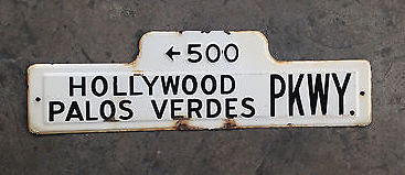
Though its reach fell far short of Tinseltown, it was called the Hollywood Palos Verdes Parkway for years. The name was officially changed to just plain “Palos Verdes Boulevard” in the 1950s.
Not every major road project fell short of its goals. Peninsula landowner Frank Vanderlip’s plan, first proposed in 1914, to build a coastal highway circumnavigating the Palos Verdes Peninsula turned into a spectacular success after it was completed in 1926.
Palos Verdes Drive offered spectacular coastal views as well as opening up the Peninsula to residential development. Vanderlip had hoped the roadway would become part of California State Highway 1, but the state chose Pacific Coast Highway through Torrance instead. (A portion of this route originally was known as Redondo-Wilmington Blvd.)
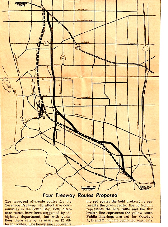
Finally, a highway plan that didn’t come to pass was the idea of a north-south “Torrance Freeway” that would have followed Hawthorne Blvd. and Pacific Coast Highway through the heart of Torrance.
Residents beat that plan back during the late 1960s. Though portions of the 105, 91,110 and 105 freeways skirt various portions of the city, much of central Torrance remains freeway-less.
Sources:
Daily Breeze archives.
L.A. Street Names website.
Redondo Reflex archives.
Torrance Press-Herald archives.